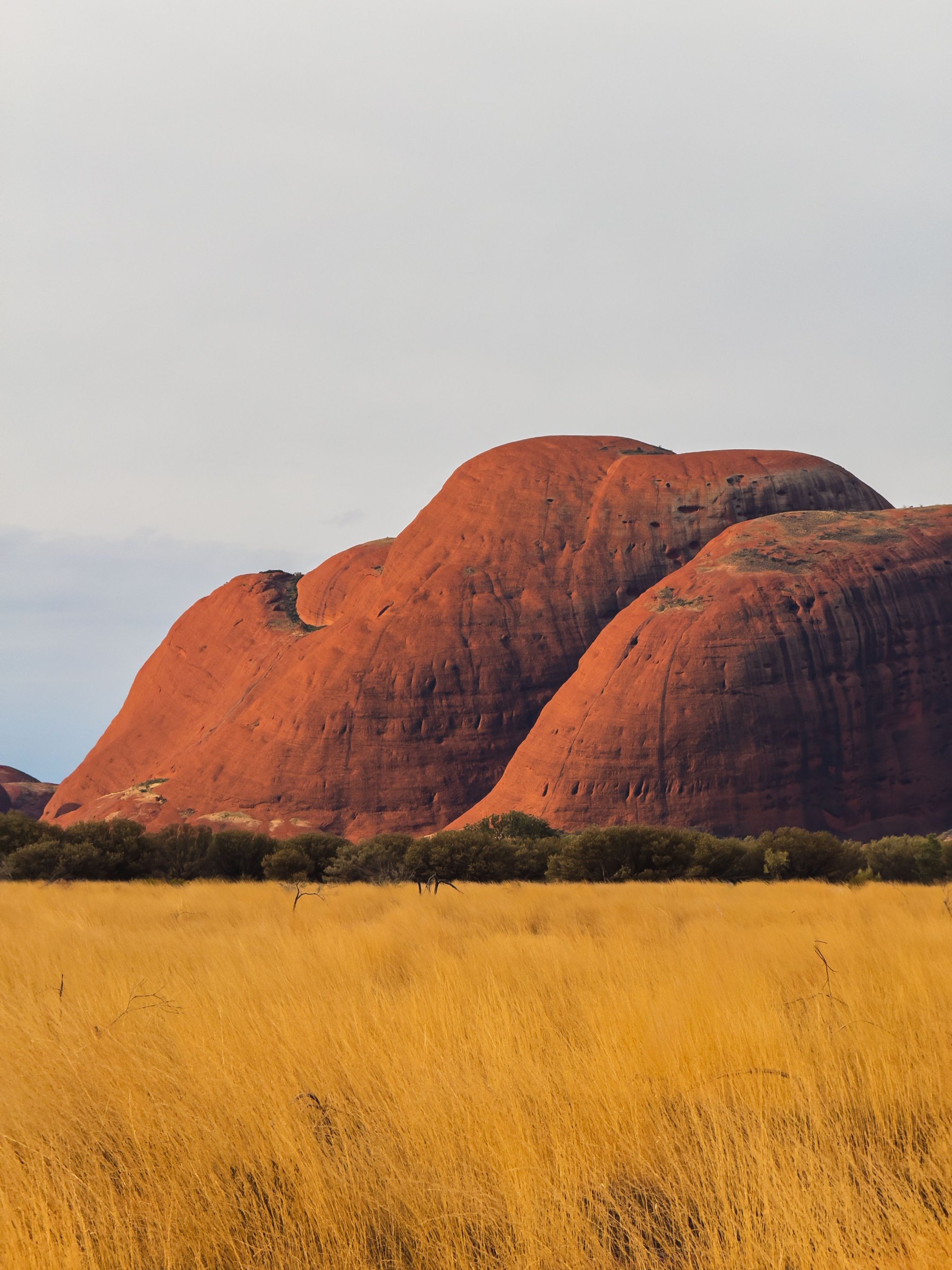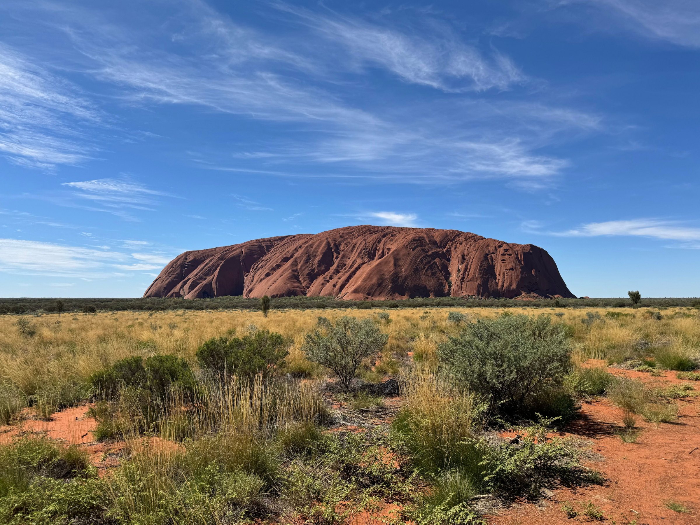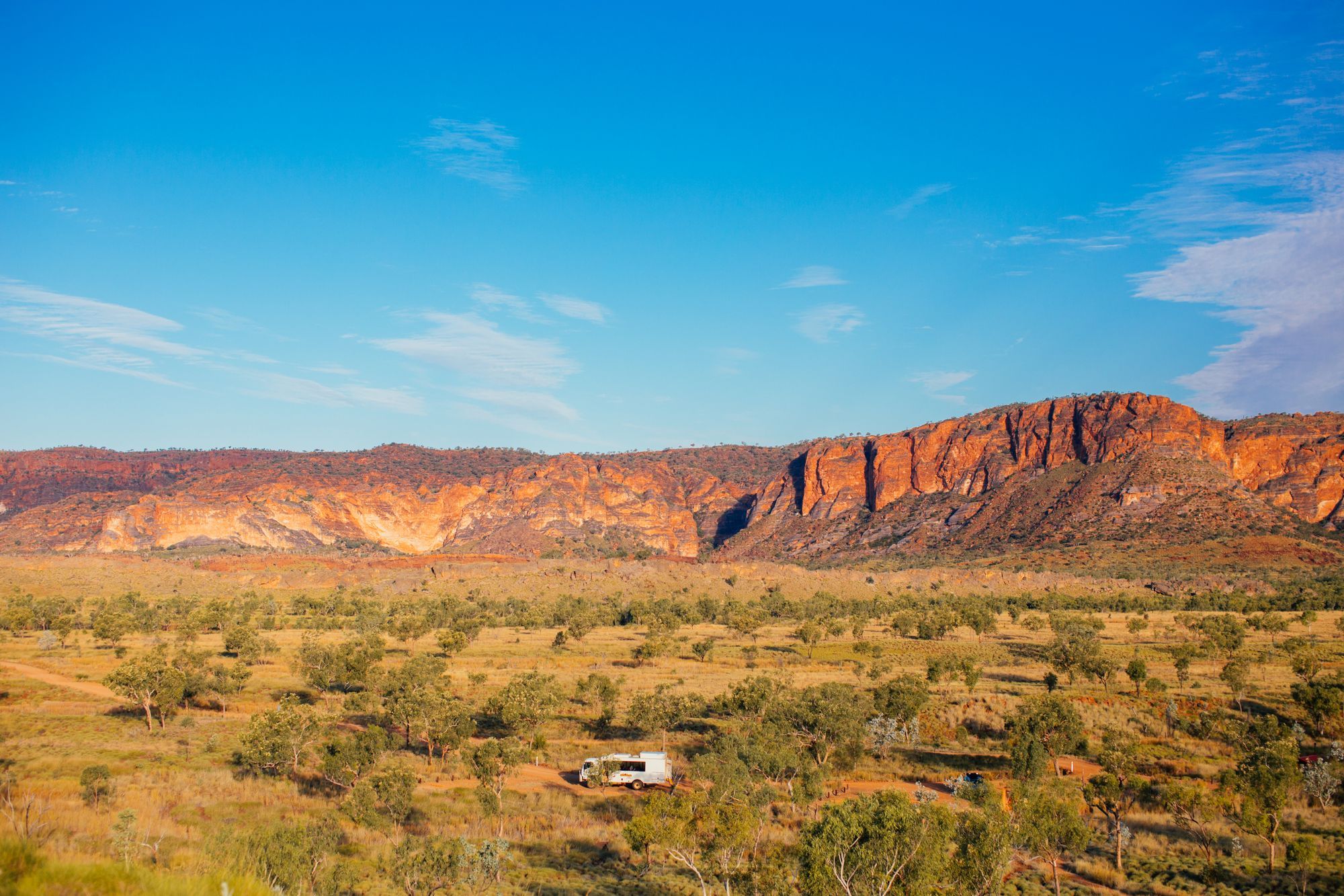
Alice Springs, or Mparntwe on Arrernte Country, is the Red Centre's only real town and the base for its gorges, waterholes and long drives. Here is what to do in town, which gorges of the West and East MacDonnell Ranges to see, and how to get on to Kings Canyon and Uluru.
What are the best things to do in Alice Springs?
Start with Alice Springs Desert Park, then the Telegraph Station, the Royal Flying Doctor Service and School of the Air. Together they explain the desert, the town's history and how people live across the Outback. Most sit within a few kilometres of the centre.
- Alice Springs Desert Park: 7 km from town, open 7.30am to 6pm (last entry 4.30pm). Walk through desert habitats, see free-flying birds of prey, visit the Nocturnal House and hear daily talks from local Aboriginal guides. Adult entry is A$41.50 until 31 March 2027. Allow 3 to 4 hours.
- Alice Springs Telegraph Station: 4 km north of town, the best preserved station on the Overland Telegraph Line and the original site of European settlement. The reserve is an easy bike ride from town, and Section 1 of the Larapinta Trail starts here.
- Royal Flying Doctor Service Tourist Facility: the Alice Springs base has operated since 1939. Inside are a hologram of founder John Flynn, a replica aircraft and a café. Adult entry is about A$22.
- School of the Air Visitor Centre: about 3.5 km from the centre. Since 1951 the school has taught Outback children across more than 1.3 million square kilometres. Open weekdays 9am to 3pm; adults A$16.50.
- Olive Pink Botanic Garden: more than 600 Central Australian plant species, open daily 8am to 6pm, with the Bean Tree Cafe inside.
- Anzac Hill: a war memorial and a lookout over the town and the ranges.
For something special, two operators run sunrise hot-air balloon flights. You choose a 30 or 60 minute flight, pickup is before dawn, and the whole trip takes about four hours.
Where can you see and buy Aboriginal art in Alice Springs?
Alice Springs is one of the best places in Australia to see desert art, from the Araluen Arts Centre, about 2 km west of the centre on Larapinta Drive, to the galleries along Todd Mall. Many shops sell work by artists from remote communities, but quality and fairness vary a lot.
Buy from Aboriginal-owned art centres or from dealers who sign the Indigenous Art Code, and ask who painted a work, where and how the artist was paid. Our guide to Aboriginal art explains dot painting, which began at Papunya north-west of town, and what to check before you buy. For tours led by Traditional Owners, see our pick of Aboriginal cultural tours.
When is the Parrtjima festival in Alice Springs?
Parrtjima – A Festival in Light runs from 9 to 18 April 2027, ten nights of free, all-ages events in Mparntwe. It is the festival's 12th edition, curated by First Nations artist and designer Jacob Nash.
Expect large-scale light installations that celebrate Aboriginal culture, plus live music, talks, workshops, markets and family activities. Book accommodation early.
What is there to see in the West MacDonnell Ranges?
The West MacDonnell Ranges, protected as Tjoritja/West MacDonnell National Park, run west from town with a chain of gorges and waterholes, almost all on sealed roads. You need an NT Parks Visitor Pass, which is separate from the Uluru-Kata Tjuta pass.
- Simpsons Gap: 17 km west, a dramatic gap in the range. The waterhole is sacred, so swimming is not allowed.
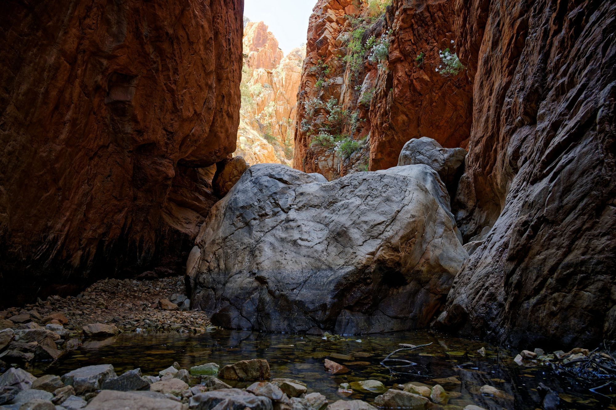
- Standley Chasm (Angkerle Atwatye): about a 30 minute drive west. It is a private reserve owned by the Iwupataka Land Trust and run by the Aboriginal-owned Angkerle Aboriginal Corporation, so a small entry fee applies. The easy 2.4 km return walk ends at a narrow chasm that glows when the sun is overhead around midday.
- Ellery Creek Big Hole: 88 km west, a deep permanent waterhole under red cliffs and the most popular swim close to town.
- Ormiston Gorge: 135 km west, with a permanent waterhole up to about 14 m deep. NT Parks warns the water is extremely cold and can cause hypothermia; do not jump or dive.
- Glen Helen Gorge: 132 km west, a pool between tall cliffs and a refuge for wildlife.
- Redbank Gorge: 156 km west, at the foot of Mount Sonder.
The 231 km Larapinta Trail follows the range from the Telegraph Station to Mount Sonder in 12 sections. Our Red Centre walks guide covers it, the Ormiston Pound loop and the heat rules in detail.
How far are the main sights from Alice Springs?
Most town sights are within 7 km, the main West MacDonnell gorges are 17 to 156 km out, and Kings Canyon and Uluru are each about 450 km away. Times below are a realistic minimum on the ground, not counting the drive.
| Sight | Distance from town | Time needed |
|---|---|---|
| School of the Air Visitor Centre | About 3.5 km | 1 hour |
| Telegraph Station | 4 km north | 1 to 2 hours |
| Alice Springs Desert Park | 7 km | 3 to 4 hours |
| Simpsons Gap | 17 km west | 1 hour |
| Standley Chasm (Angkerle Atwatye) | About 30 min drive west | 1 to 2 hours |
| Ellery Creek Big Hole | 88 km west | 1 to 2 hours |
| Glen Helen Gorge | 132 km west | 1 hour |
| Ormiston Gorge | 135 km west | 2 hours to half a day |
| Trephina Gorge (East MacDonnells) | About 75 km east | Half a day |
| Kings Canyon (Watarrka) | 450 km | 1 to 2 days |
| Uluru-Kata Tjuta National Park | About 450 km | 2 to 3 days |
Is it worth visiting the East MacDonnell Ranges?
Yes, if you have an extra day. The East MacDonnell Ranges stretch about 150 km east of town and are much quieter than the West, with gaps, gorges and rock art. The road is sealed for the first 75 km, as far as Trephina Gorge.
- Emily and Jessie Gaps: closest to town, with rock paintings linked to the Arrernte caterpillar story of the ranges.
- Corroboree Rock: a dolomite outcrop with a short loop track. It is an important sacred site for Arrernte men, so stay on the path.
- Trephina Gorge: walking trails, rock art and shady campgrounds.
- 4WD only: N'Dhala Gorge has thousands of petroglyphs, and Ruby Gap has garnets in the riverbed. Arltunga holds the ruins of a gold-mining town worked from 1887 to 1913.
The NT Parks Visitor Pass is needed here too.
How do you get from Alice Springs to Uluru and Kings Canyon?
Most people drive. Uluru is about 450 km from Alice Springs on sealed roads via the Stuart and Lasseter Highways, around five hours without stops. Kings Canyon in Watarrka National Park is also 450 km by road, via the Stuart Highway, Lasseter Highway and Luritja Road, all sealed and fine for a 2WD.
The shorter, scenic option is the Red Centre Way through the West MacDonnells along Larapinta Drive. Its unsealed section, the Mereenie Loop, is 4WD recommended and needs a Mereenie Loop Pass because it crosses Aboriginal land. Buy it in person at the Alice Springs Visitor Information Centre, the Central Land Council office in town, the Standley Chasm shop, the Hermannsburg General Store, Kings Canyon Resort or Kings Creek Station. Unsealed roads can close after rain, so check the NT road report first.
Drive in daylight to avoid wildlife and stock on the road, and stop for a break at least every two hours. Our guide to driving in Australia covers Outback road rules, and Australia's best road trips includes the full Red Centre loop. At the other end, read Uluru, Kata Tjuta and the Red Centre explained.
Is Alice Springs safe for tourists?
Most visits pass without trouble, and the usual precautions for any town apply. The NT Government's travel safety advice is to keep valuables out of sight, stay aware of your surroundings, avoid risky situations at night or in unfamiliar areas, and use reputable transport.
In practice, lock your car, do not leave bags or phones visible in it, and take a taxi rather than walking alone late at night. In an emergency call 000; for non-urgent police matters call 131 444.
The bigger risks for visitors are the heat and the distances. Carry plenty of water, tell someone your plans before driving into the ranges, and keep your phone charged.
When is the best time to visit Alice Springs?
Autumn, winter and spring, roughly April to September, are the most comfortable months. Days are warm and dry, and nights can be cold in winter, so pack a warm layer for sunrise outings.
From October to April, NT Parks warns that temperatures can exceed 40°C. In the hot months, walk at dawn, finish by late morning, and check the Bureau of Meteorology for heatwave warnings. Parks can close at short notice for bushfire, flooding or maintenance. For month-by-month detail on the wider region, see our guide to the best time to visit Uluru and the Northern Territory guide.
Facts checked October 2026. Entry prices, opening hours, park passes and road conditions change often; confirm with each operator, NT Parks and the NT road report before you travel.
- Plan your visit (Alice Springs Desert Park)
- Alice Springs Telegraph Station Historical Reserve (NT Government)
- Royal Flying Doctor Service Alice Springs Tourist Facility (Tourism NT)
- Alice Springs School of the Air Visitor Centre (Tourism Central Australia)
- Visiting the Garden (Olive Pink Botanic Garden)
- Hot air ballooning in Alice Springs (Tourism NT)
- Parrtjima 2027 new curator and dates announced (National Tribune)
- Ormiston Gorge (NT Government)
- Secluded swimming holes in the Red Centre (Tourism NT)
- Standley Chasm Angkerle Atwatye (Tourism Central Australia)
- East MacDonnell Ranges (Tourism NT)
- Watarrka National Park: getting there and the Mereenie Loop Pass (NT Government)
- Alice Springs to Uluru travel guide (Emu Run Experience)
- Safe travels (NT Government Territory Community Safety)