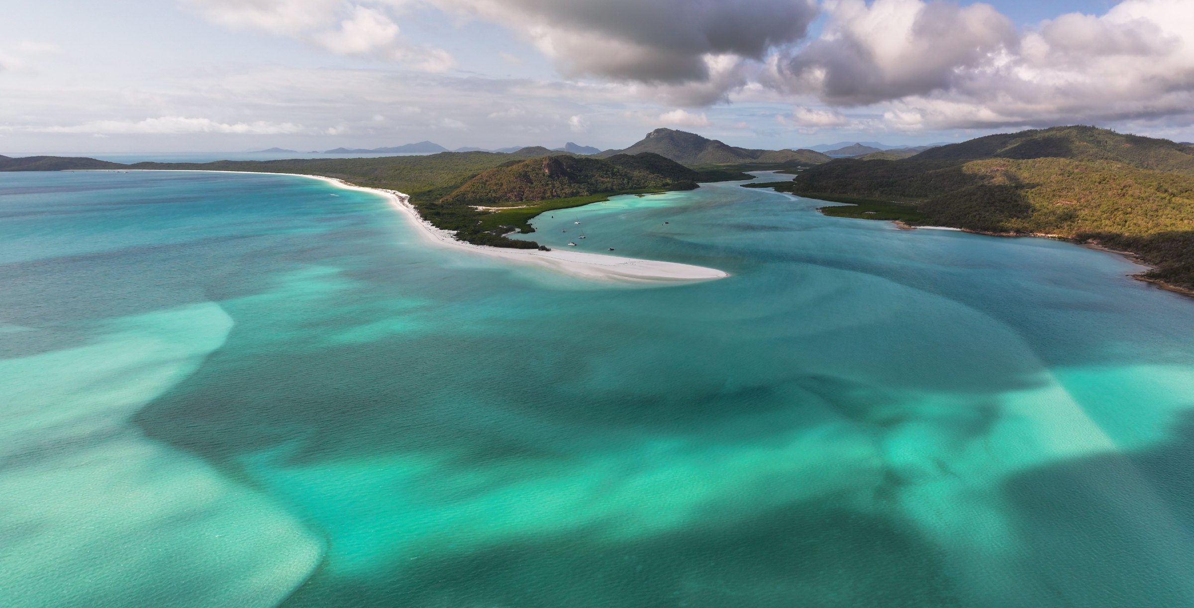
Tasmania is Australia's wildest state, and glaciers, rain and the Southern Ocean have shaped it into jagged peaks, alpine lakes and sea cliffs around 300 metres high. It is the best walking state in Australia, and also the most changeable. Here are 14 featured walks in one guide, from a 20-minute rainforest loop to the 65 km of the Overland Track.
Trail status · October 2026
The Overland Track booking season runs from 1 October to 31 May. Bookings for 2026/27 opened on 7 July and popular dates sold out fast; only 34 independent walkers may depart each day, at $312 per adult. Outside the season (June to September) walkers register instead. The Three Capes Track (11) and Freycinet walks (6 to 10) had no closures listed at the time of writing, and every national park needs a valid parks pass. Check Parks and Wildlife alerts and the Overland Track page before you plan a day around any of them.
Where are the best walks in Tasmania?
Tasmania's walks cluster in four places. The north-west highlands have Cradle Mountain and the start of the Overland Track, the state's most famous walk. The east coast has Freycinet National Park and Wineglass Bay, with granite peaks above white sand. The Tasman Peninsula, near Port Arthur, has the Three Capes, and the south-west has Mount Field and the remote South Coast Track.
- Overland TrackDifficult65 km (40 mi) one way Six days from Cradle Mountain to Lake St Clair. Booking and fee required from 1 October to 31 May; carry a tent.
- Cradle Mountain SummitDifficult12.8 km (8 mi) return About eight hours with a 600 m climb and a final scramble over large boulders, in all weather.
- Dove Lake CircuitModerate6 km (3.7 mi) circuit Around the lake beneath Cradle Mountain, through the Ballroom Forest.
- Crater Lake CircuitModerate5.7 km (3.5 mi) circuit A glacial lake below the peaks, good when the high tracks are exposed.
- Enchanted WalkEasy1.1 km (0.7 mi) circuit Beside a rainforest stream; partly wheelchair accessible.
- Wineglass Bay LookoutModerate2.6 km (1.6 mi) return Steps to a saddle above Wineglass Bay.
- Wineglass Bay & Hazards BeachModerate11 km (6.8 mi) circuit Over the saddle to both beaches.
- Mount AmosDifficult3.6 km (2.2 mi) return Steep granite slabs to the view over Wineglass Bay.
- Cape TourvilleEasy600 m (0.4 mi) circuit A short loop to a lighthouse and coastal lookout.
- Freycinet Peninsula CircuitModerate27 km (17 mi) Two to three days of beaches and granite peaks.
- Three Capes TrackModerate48 km (30 mi) Four days and three nights in cabins above the sea cliffs.
- Cape HauyModerate9.4 km (5.8 mi) return Many steps out to the Totem Pole sea stack.
- Russell FallsEasy1.4 km (0.9 mi) return A sealed path to a tiered waterfall, Mount Field.
- South Coast TrackDifficult85 km (53 mi) Six to eight remote days from Melaleuca to Cockle Creek; fly in.
Can you walk the Overland Track?
The Overland Track (1) is one of the great alpine walks in the world. It runs for 65 km through Cradle Mountain-Lake St Clair National Park, from Ronny Creek to Lake St Clair, past glacial lakes, buttongrass plains, pencil pine forest and side trips to Mount Ossa, Tasmania's highest peak. Most walkers take six days. From 1 October to 31 May you must book and pay a fee ($312 per adult for 2026/27), with up to 34 independent walkers departing each day, and walk north to south.
The huts along the way cannot be booked and fill up first, so every walker must carry a tent and gear for snow. The track crosses exposed high country and the weather can turn from sun to sleet within hours, even in summer. At the southern end, most walkers catch the ferry across Lake St Clair rather than walking the last stretch along the shore. In heavy weather the side trips become dangerous within minutes; if cloud and wind are building, skip the summit and keep moving.
What are the best walks at Cradle Mountain?
Cradle Mountain is a ragged ridge of dolerite peaks above glacial lakes. A shuttle bus runs from the visitor centre to Dove Lake, where most day walks begin; you need a parks pass and a shuttle ticket.
Two walks show the mountain from the lake. The Dove Lake Circuit (3) loops the shore in two to three hours, with the peak reflected on calm days and a cool detour through the mossy Ballroom Forest. The Crater Lake Circuit (4) climbs to a dark glacial lake below the ridge, a good choice when the summit is in cloud. Above them, the Cradle Mountain Summit (2) is a full day of steep climbing that ends in a boulder scramble to the top. When the cloud lifts, you can see across the whole Overland Track country.
The summit is for fit, experienced walkers only. Allow about eight hours return, start early, carry warm and waterproof layers even in summer, and turn back if the rocks are icy or the cloud closes in, as it often does.
Are there easy walks in Tasmania?
Yes, three. The Enchanted Walk (5) at Cradle Mountain is a 20-minute loop beside a tea-coloured stream, where wombats often graze at dusk nearby. Russell Falls (13) in Mount Field National Park is a wide, sealed path to a tiered waterfall in tall forest. On the east coast, Cape Tourville (9) gives a big view over the Freycinet coast without committing to a long walk.
Where can you walk on the east coast?
The east coast is where Tasmania's coastal walking shines. The Wineglass Bay Lookout (6) climbs stone steps to a saddle in the granite Hazards, with the curve of the bay below; continue down and loop back via Hazards Beach (7) for a full day out. Mount Amos (8) is the harder way to the same view, up steep rock slabs that are dangerous when wet. The Freycinet Peninsula Circuit (10) takes two to three days.
Further south, the Three Capes Track (11) runs 48 km over four days, with a cruise to the start and three nights in cabins, for $650 per adult in 2026. For a day walk, Cape Hauy (12) leads out to the Totem Pole sea stack. The South Coast Track (14) is a remote 85 km for experienced walkers.
When is the best time to walk in Tasmania?
Summer, from about December to March, is warmer, has the longest days and is the busiest season on every track, when snow is rarer and rivers are lower. Winter brings snow to the highlands and short days, but the east coast often stays mild and clear. Whatever the month, be ready for four seasons in a day: Cradle Mountain is often clearest in the morning, and the Dove Lake car park and shuttle get busy fast.
A few rules apply on every Tasmanian walk. Start early, because cloud and rain often build over the mountains by midday. Pack warm and waterproof layers whatever the forecast, wear boots with grip, and turn around if the weather turns: hypothermia in the highlands can set in even on a summer day. Stay on the track and off closed areas, sign the walker logbooks, and leave rocks, plants and Aboriginal heritage exactly where you found them.
For more on the state, see the Tasmania guide and our Tasmania snorkel and dive guide.
Facts checked October 2026. Tracks close after storms, snow, flooding and fire danger, so check the official alerts page and the weather before you go.
- Tasmania Parks and Wildlife Service: Overland Track
- Tasmania Parks and Wildlife Service: Cradle Mountain
- Pulse Tasmania: Overland Track bookings for 2026/27 season to open on Tuesday
- Tasmania Parks and Wildlife Service: Three Capes Track
- Tasmania Parks and Wildlife Service: Freycinet National Park
- Also used: Tasmania Parks and Wildlife Service pages for Mount Field, Cape Hauy and the South Coast Track; Service Tasmania parks pass fees